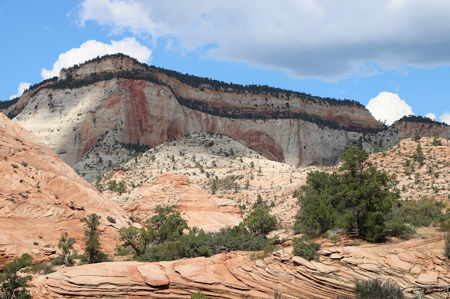
We came into Zion from the east on Saturday by way of the Zion Mount Carmel Highway and traveled for twenty-five miles to the southern entrance, through the most spectacular country we have seen in this region. Much of the park is inaccessible by car but the main road follows water courses that carve their way through amazing landscape including mountains, canyons, buttes, mesas, monolithic rock formations and natural arches.
 |
| Definitely Monolithic |
 |
| Standing at the Base of a Thousand Foot Monolith |
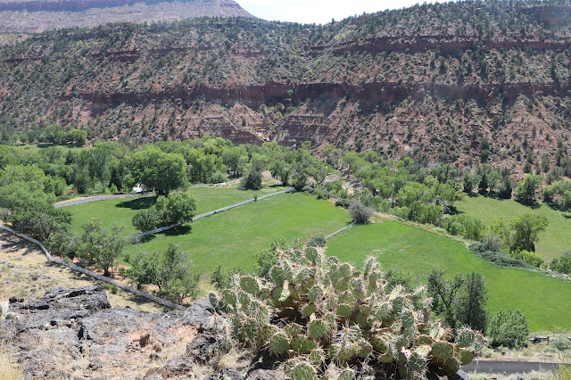
On Sunday morning from our ‘Ant Haven’ campsite, we drive north from Virgin,
UT (population 600) onward and upward alone a terrace or shoulder of the Kolob
Plateau with Zion National Park to the immediate east. Finally, to the remote
Kolob Reservoir and the community of Kolob. Fifteen houses, a community center
and no services. Folks up here use propane to power refrigerators and catch
water in cisterns. Fifteen feet of snow annually. The state or county does not
plow Kolob Terrace Road so if you are here after the first snows come, it’s
here you stay unless you walk out or get a fat guy with a snow mobile to come
pick you up.
 |
| On Our Way Up on Kolob Terrace Road. Zion Canyon in the Background. |
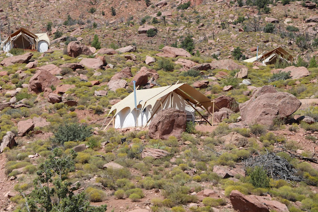
On the way out, we stop at Under Canvas, where one can stay
in one of many ‘luxury’ tents, to do a little 'glamping'.
A new one on me, glamping is the opposite of 'roughing it'. The ‘base model' starts at $385/night. I
think I’ll stick with our Little Guy.
 |
| Under Canvas 'Glamping" Hotel |
 |
| You Can Rent This Tent for $385/Night. The Rocks are Free. |
 |
| A New Friend |
 |
| On the Kolob Plateau |
We drive back through Zion for a trolley ride through the
North Fork of the Virgin River. Wow! Wow! The NF Virgin flows out of Zion and
joins the East Fork Virgin in Rockville to form the main stem of the Virgin
River, which magically becomes clean and clear because of all the yuppie,
hippie, organic living folk there. From there the Virgin flows southwestward
through St. George, UT, Littlefield AZ and Mesquite, NV to finally join Muddy
River and the Colorado. Together these rivers artificially form Lake Mead
thanks to Hoover Dam, another Bureau of Reclamation monstrosity.
Virgin River Zion Canyon Scenes
Like much of the Grand Staircase Escalante archaeological evidence shows inhabitation by the Anasazi people about 1000 years ago, the Fremont people and finally those pesky Paiutes. Then came the Mormons.
Geologically speaking, this region used to be a vast, warm, shallow sea. Thirteen million years ago tectonic forces uplifted the region to ten thousand feet to create
the Colorado Plateau. Since then rivers and streams have eroded the landscape into
the deep and vast canyons we see today.
Extremes in altitude and water regimes created desert, riparian, woodland and coniferous forest habitats that sport
290 birds, 80 mammals, 28 reptiles, 7 fishes and 6 amphibians today, not to
mention scores of plants and hundreds of insect species.
“Immutable yet ever changing, the cliffs of Zion stand
resolute, a glowing presence in late day, a wild calm. Melodies of waters
soothe desert parched ears, streams twinkle over stone, wren song cascades from
red rock cliffs, cottonwood leaves jitter on the breeze.” Credit - some guy or gal in
the National Park Service.
See https://www.nps.gov/zion/planyourvisit/upload/ZionUnigrid.pdf
for more on Zion.
Back to the Ant Haven for the night. Tomorrow headed for Gold Butte National Monument.
Back to the Ant Haven for the night. Tomorrow headed for Gold Butte National Monument.


No comments:
Post a Comment